Tell-Trail stage 3: Brunnen - Rigi Kaltbad - Lucerne


- 5:00 h
- 37.76 km
- 1,590 m
- 1,590 m
- 432 m
- 1,657 m
- 1,225 m
- Start: Brunnen - boat station
- Destination: Lucerne
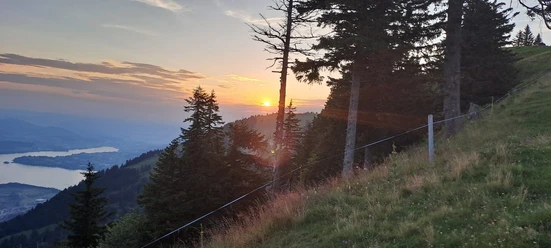
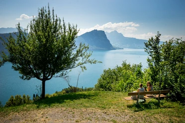
A wonderful view of the nearby peaks accompanies you today along the entire route.
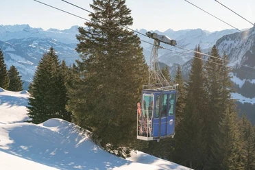
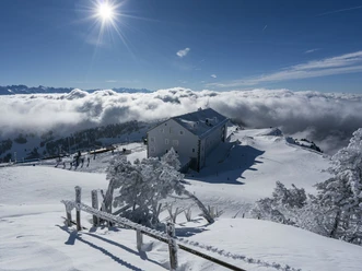
From the shore of Lake Lucerne in Brunnen, you ascend with the cable car to the Urmiberg. This is followed by a challenging hike over the Gätterli Pass, past the mountain inn Rigi-Burggeist. At the latest at the Känzeli viewpoint, the camera won't stay in your pocket any longer. The view over the fjord-like Lake Lucerne is overwhelming. Shortly afterwards, you reach Rigi Kaltbad. By cog railway down to Vitznau and boat trip to Lucerne.
Hiking time: approx. 5 hours | Distance: 16 km (without mountain railways & boat) | Ascent: 843 m (with mountain railways: 1,537 m) | Descent: 430 m (with mountain railways: 1,537 m)
Waypoints

")
Good to know
Pavements
Best to visit
Directions
Tour information
Mountain Railway Tour
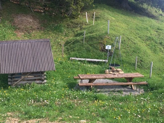
Stop at an Inn
Equipment
Directions & Parking facilities
Additional information
This stage belongs to the long-distance hiking trail Tell-Trail, which runs through the whole Central Switzerland in eight stages.
More info on the Tell-Trail at www.luzern.com/telltrail
Author
Luzern Tourismus
Organization
Luzern Tourismus
Safety guidelines
T3 demanding mountain hiking.
- Good surefootedness
- Average orientation skills
- Basic alpine experience
Nearby